7 Days To Die Is Leaving Game Pass, Don’t Buy It
7 Days to Die will exit Game Pass on April 30. It might be tempting to scoop it up with the 20% discount you get with Xbox Game Pass, but don’t. The Xbox version of 7 Days to Die isn’t the…
Sea of Thieves Is Already Finding A Big Audience on PlayStation As Servers Struggle During Closed Beta
Xbox’s move to bring some games to PlayStation is already finding early success. Sea of Thieves is currently in Closed Beta for folks who pre-ordered the game. And the servers are already…
EA Motive’s Work On Their Iron Man Game Is Making “Excellent Progress”
In a studio update this morning, EA Motive’s Studio General Manager Patrick Klaus said that development of their Iron Man game “made excellent progress this year, hitting a major internal…
Someone At Ubisoft Hit The Publish Button A Little Early, Star Wars Outlaws Release Date Leaks
A new Star Wars Outlaws trailer was supposed to premiere at 9am PT today, but it went up a little early on Ubisoft Japan’s YouTube page. The page has since been taken down, but not before all…
GTA 6’s Jason Has Only Said One Word So Far And Troy Baker Says It’s Not Him
Following the huge GTA 6 leak, we learned that the game will have two protagonists. In the first trailer, we see them both – Lucia and Jason. Lucia takes most of the spotlight in the…
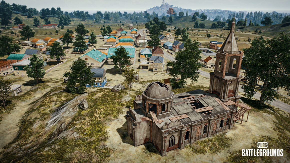
PUBG Destructible Terrian Lands This Week, Here’s How It Works
Update 29.1 goes live with tomorrow’s server maintenance and brings one of the prominent features from PUBG’s 2024 roadmap—destructible terrain. One of the biggest questions was how usable…
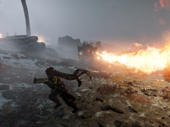
Helldivers 2 Fans Rid The Galaxy of Automatons, But What’s Next?
The mechanized Automatons are no more. Hundreds of thousands of fans were online yesterday as the final planet was liberated. The game’s official Twitter/X account celebrated the…
Xbox’s Next Big Tech Leap Will Bring Backwards Compatibility With It
Xbox executives have recently said that the next generation of Xbox consoles will be “the largest technical leap you will have ever seen in a hardware generation.” While the company is looking…
A New Helldivers 2 Warbond Is Dropping Next Week, But How Often Can We Expect This?
The folks at Arrowhead Game Studios are running a masterclass on how to support a live-service game. Another premium Warbond DLC is dropping next week and is packed with the usual assortment…
Helldivers 2 Gets A Level Cap Boost, Weapon Balancing, And A Few Surprises
The team behind Helldivers 2 isn’t slowing down. A new patch is live this morning and brings with it an increased level cap, another weapon balancing pass, and a couple of unannounced…
XDefiant Inches Closer To Finally Announcing a Release Date, Stress Test Coming Shortly
Despite a string of successful playtests last year, Ubisoft’s newest shooter, XDefiant, has struggled to reach the finish line. April is nearly here, and we are still waiting for the…
GTA VI Development “Falling Behind” According To New Report
When the first GTA VI trailer dropped in December, a 2025 release date splashed on the screen at the end. According to a new report from Kotaku, that date might be in a bit of trouble. …


